Egilsstaðir
A whole town's traffic, understood.
An entire East Iceland town was analysed to understand local versus regional flow. 9.4 million images turned into evidence for safer streets, a bypass case, and protection from heavy through-traffic.
East Iceland, 2020
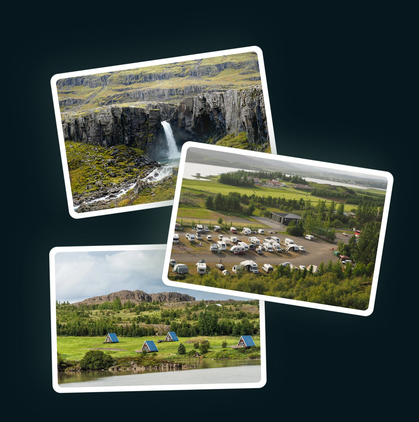
Egilsstaðir needed to understand how traffic really moved through the town, local versus regional, light versus heavy, to plan safer streets and make the case for a bypass. There was no evidence base to work from.
Parka analysed 9.4 million images, identifying thousands of unique vehicles a day and tracking movements between all 5 roads entering the town. Traffic was split into light and heavy vehicles, under and over 3.5 tonnes, revealing how much heavy freight passed straight through the town centre, plus tourism influence and daily peaks.
Products deployed
“Evidence supported safer street design and strengthened the business case for a bypass and freight reallocation.”
Egilsstaðir, East Iceland, 2020
See what your sites are really doing.
Book a 30 minute demo and we will show you what this looks like for your estate.